Watershed Health
Quick Links
The Mad River Watershed
Watershed Map - https://yooperjb.github.io/Mad_River_Alliance/
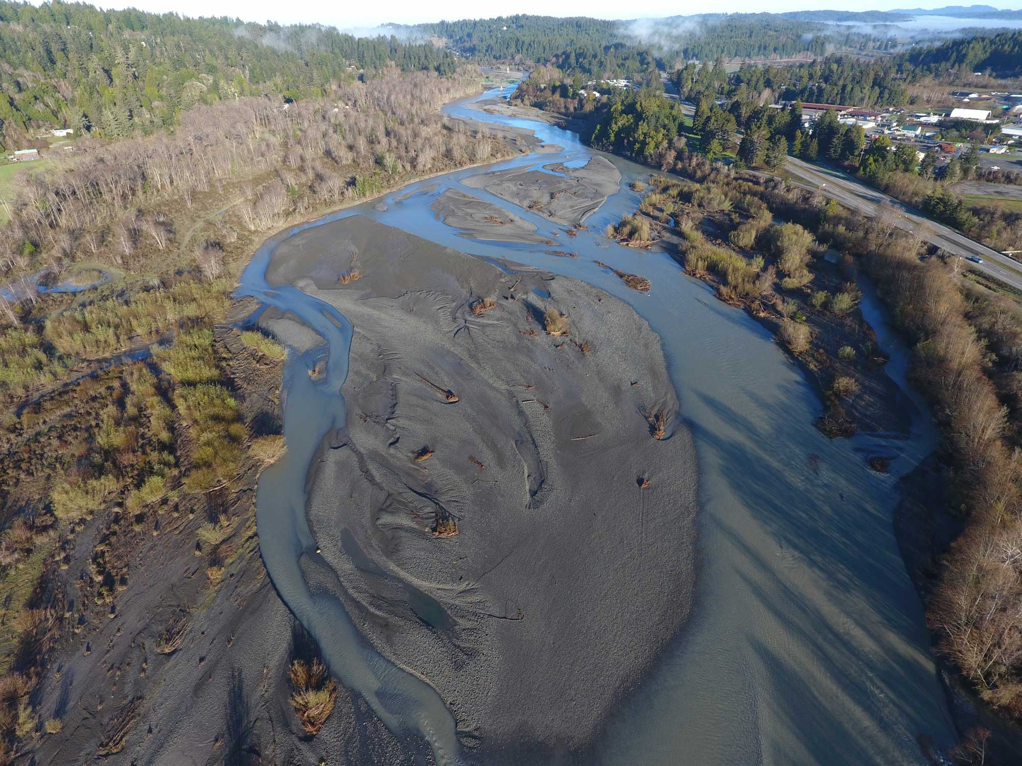
The Mad River watershed collects approximately 497 square miles of area in the coast range mountains and flows to the Pacific Ocean in a north/northwesterly direction over the course of 113 miles. Headwaters originate in southern Trinity County, California and continue through south-central Humboldt County, to the ocean confluence in west-central Humboldt County. This course was originally the territory of several tribal nations: Lassik, Nongatl, Whilkut, and Wiyot Tribes, all of whom historically had permanent and seasonal villages throughout the length of the river. The lower river is known as “Baduwa’t” by the Wiyot people. Today, the Cities of Arcata, Blue Lake, and the municipality of Mckinleyville (along with other small Humboldt County communities: Fieldbrook, Glendale, and Korbel), occupy areas along Mad River where traditional Wiyot villages are located. All of these communities and the City of Eureka rely upon Mad River for clean water needs.
Watershed Issues
The Mad River has been listed as ‘impaired’ on the 303(d) List of Impaired Waters by the EPA for temperature and excessive siltation/turbidity. The Mad River’s naturally erosive geology, coupled with historic and contemporary land uses lead to the impairment and degradation of aquatic habitat for all species that depend on the Mad River. Observations during the period of data collection by Blue Lake Rancheria’s Tribal Environmental Protection Agency (TEPA) staff show that precipitation is falling less frequently and in widely varying intensity. This climate change-driven variability in the hydrologic cycle further impairs river flows and periods of time that tributaries have surface flow.
The Tribe is committed to the health and well-being of the Mad River and all the species that the river supports. Gathering baseline water quality data, benthic macroinvertebrate sampling, Harmful Algal Bloom sampling, and other biological monitoring like eDNA sampling and direct observation snorkel surveys for summer-run steelhead provide data to inform about the overall health of the Mad River.
Water Quality Monitoring
Sampling program overview
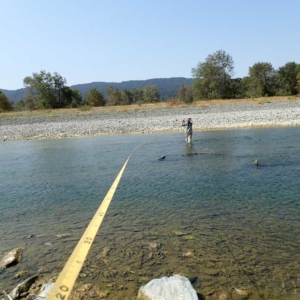
Blue Lake Rancheria Tribe’s TEPA staff routinely collect baseline water quality data on the Mad River (Wiyot language: Baduwa’t) and tributaries since 2005. Since the inception of the baseline water quality monitoring program, TEPA has built a robust and informative monitoring program that works with local, State, and Federal agencies and other non-governmental organizations to inform the public regarding the health of the Mad River, the river that supports the water needs of 90,000+ Humboldt County residents in Arcata, Blue Lake, Eureka, McKinleyville and surrounding areas.
Baseline water quality samples and benthic macroinvertebrate samples are collected as indicators of watershed health. Other sampling that is conducted as a part of a collaborative effort with other partners are: continuous summertime stream temperature data, Harmful Algal Blooms, Summer Steelhead Snorkel Survey, and environmental DNA sampling.
Baseline Data
Sampling the surface water of Mad River regularly shows that seasonal impairments can affect the integrity of the aquatic environment. This impact reverberates through the entire ecology of Mad River, impacting all species that depend on Mad River for life. Parameters selected for baseline monitoring are: temperature, dissolved oxygen, specific conductance, pH, turbidity, bacteria, and nutrients. These parameters were selected for monitoring based on the listing of Mad River as impaired for temperatures and turbidity, siltation/sedimentation. Other parameters, like pH and specific conductance, can reveal if a discrete pollution event is happening or has happened by a large change in value in a brief period of time.
BLR TEPA staff have gathered these samples at 3 locations on Mad River and several tributary locations since 2005. Data are checked and entered into BLR’s proprietary database, and uploaded to the US Environmental Protection Agency’s WQX database online where data is publicly available and datasets can be searched and downloaded though the Water Quality Portal (WQP).
Benthic Macroinvertebrates
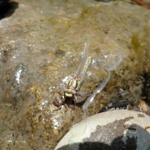
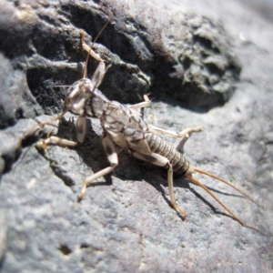
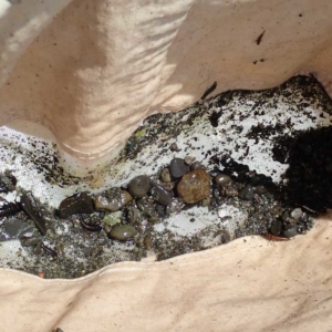
BLR TEPA staff began to sample Mad River for benthic macroinvertebrates (BMI) in 2017. BMI are a good biological indicator of water quality, as a majority of their lifecycles are spent in the aquatic environment and different species of BMI (midges, mayfly, caddisfly, stonefly, aquatic worms, etc.) have varying levels of tolerance to pollution. Generally, locations where there is the greatest diversity and abundance of BMI, the higher the quality of the water. Sampling for BMI typically takes place annually on Mad River and Powers Creek, depending on springtime water levels.
Harmful Algal Blooms
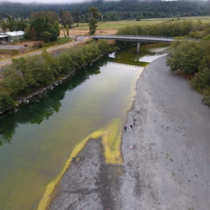
Warm, shallow, slow-moving rivers that contain excess amounts of nutrients in the water column create ideal conditions for Harmful Algal Blooms (HABs) and various toxins associated with HABs. These river conditions are becoming more common with impacts to the hydrologic cycle stemming from climate change. Direct contact with algal mats or water that contains HAB toxins can lead to a number of symptoms, such as: skin rash, dizziness, nausea, vomiting, difficulty breathing, and/or death. Some HAB toxins accumulate in liver or kidney tissue and can cause organ failure. HABs have been noted in several prominent water bodies in northwestern California since 2001, and are responsible for at least 18 reported dog deaths.
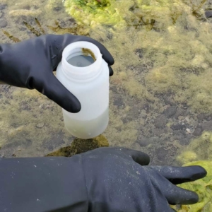
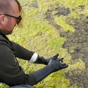
In 2014, a suspected case of algal poisoning of a dog in the Mad River led to a heightened awareness and focus upon monitoring for HABs. Since that time, BLR TEPA staff have created a visual sampling protocol for identifying potential HABs in the Mad River and created partnerships with the North Coast Regional Water Quality Control Board to analyze algal samples for presence of species and toxins in the Mad River. The focus of these samples are at locations where direct contact with water are most likely to take place (swimming holes, fishing spots, etc.). Results of these samples are reported to the County Public Health Department, North Coast Regional Water Quality Control Board, and the public-at-large to raise awareness about dangers that may exist by direct contact with the water. Sampling for HABs is expected to continue throughout the months when warm water and low river flows provide ideal habitat for these organisms to thrive.
A graduate study with Cal Poly Humboldt Fisheries and Mad River Alliance partnering with BLR TEPA will begin in 2022 to understand the relationships between a recently discovered population of invasive New Zealand Mudsnails and HABs in Mad River.
HAB Reports Map
Temperature Monitoring
The listing of Mad River as being temperature impaired has given cause to implement a Continuous Stream Temperature Monitoring Survey during the low-flow months to gather additional temperature data. This data helps us understand where and when temperatures reach levels where they are damaging and potentially lethal to salmonids that are in the river during the warm, low-flow months. Temperature probes are deployed throughout the river’s length to show how quickly the water warms and what areas are at greatest risk for excessive temperatures. This project is a collaboration between BLR TEPA and Mad River Alliance.
Summer Steelhead Snorkel Survey
Summer steelhead are a revered and highly valued fish species present in Mad River. Historically, summer steelhead ran upriver March-July during high spring runoff and hold in unique habitats in the middle and upper Mad River until spawning in the fall. Because of their unique life history, population dynamics of summer steelhead in the Mad River are a reliable biological indicator of watershed health and the ability of the river to provide habitat for this unique run of fish.
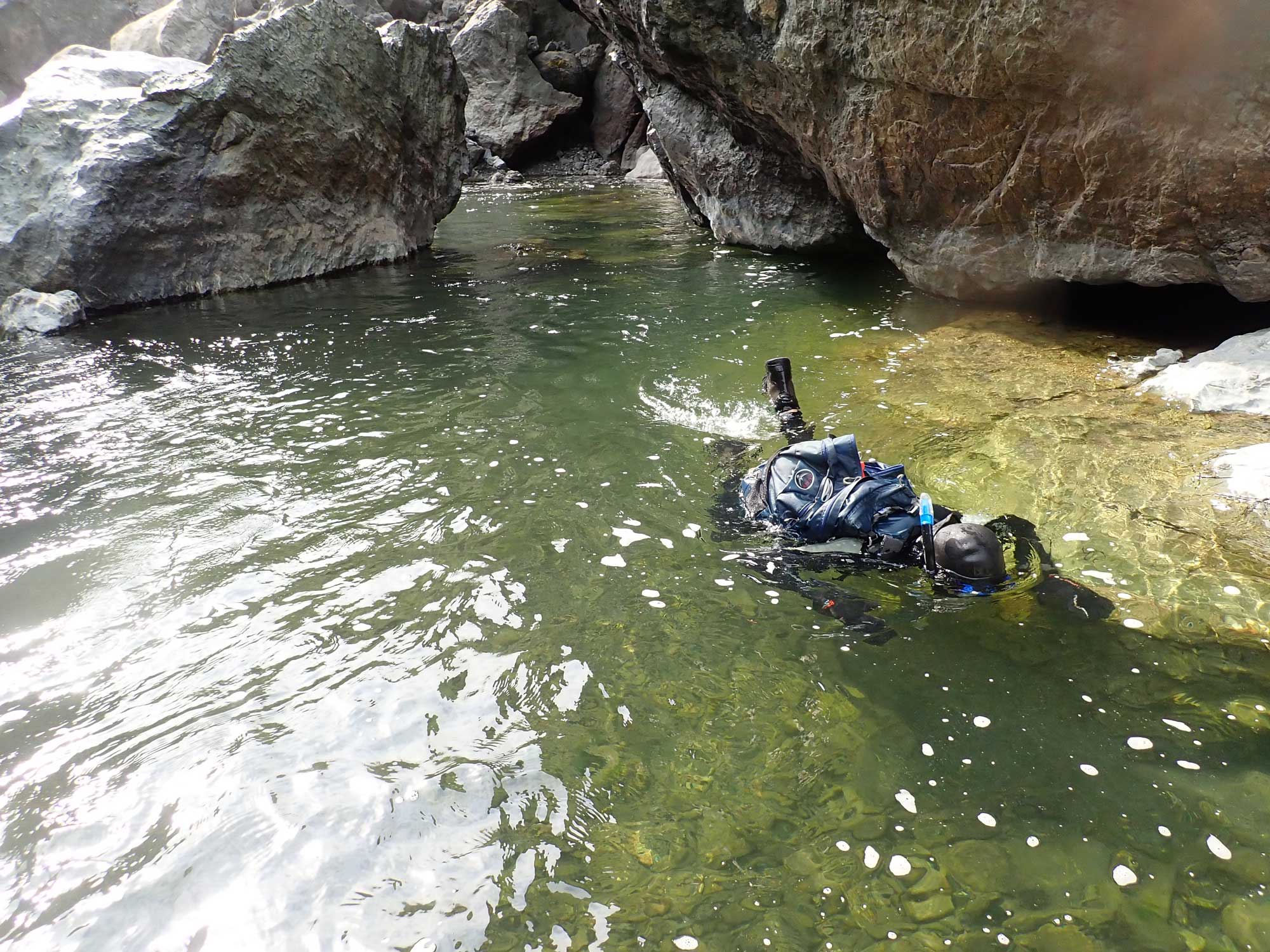
In 2013, Mad River Alliance along with volunteers from Blue Lake Rancheria Tribe, National Marine Fisheries Service, United States Fish And Wildlife Service, California Department of Fish and Wildlife, Wiyot Tribe, United States Forest Service, Green Diamond Resource Company, Bureau of Land Management, CalTrout, Timberland Resource Company, and the community-at-large convened to implement the first Mad River summer steelhead snorkel survey since 2008. The survey was originally initiated in 1980 to better understand the life history of the summer steelhead run in Mad River but stopped after 2008 due to funding limitations and stream access issues. When re-initiated in 2013, survey reaches were re-evaluated to ensure the same level of effort could be completed on an annual basis so that data could be compared between years. Since then, a minimum of 47.5 stream miles have been surveyed on an annual basis over the course of 3 days. The general trend in data is that fewer adult summer steelhead are being seen during the survey.
Summer-run steelhead for Mad River and other nearby watersheds were listed as ‘Endangered’ on the California State Endangered Species list in 2021 following a petition review by California Department of Fish and Wildlife that examined data provided by this effort and similar surveys in nearby watersheds.
- https://kymkemp.com/2021/06/18/northern-california-summer-steelhead-listed-as-endangered-under-the-california-endangered-species-act/
- 2021 Mad River Summer Steelhead Report
- 2019 Mad River Summer Steelhead Report
- 2018 Mad River Summer Steelhead Report
- 2017 Mad River Summer Steelhead Report
- 2016 Mad River Summer Steelhead Report
- 2015 Mad River Summer Steelhead Report
- 2014 Mad River Summer Steelhead Report
- 2013 Mad River Summer Steelhead Report
eDNA
eDNA sampling is the newest method of data collection that BLR TEPA staff is undertaking to better understand species’ use and distribution throughout the watershed. The idea behind eDNA is that all the inhabitants of the aquatic environment shed DNA into the water column, so gathering a specific volume of water through a special filter captures the DNA of species present in a given locality. These filters are sent to a lab where the DNA is analyzed for the presence, and in specific instances, abundance of species present. The initial eDNA sampling effort will take place in 2022 with two efforts: a study in partnership with BLM fisheries, AmeriCorps Watershed Stewards Program, and Stillwater Sciences will detail the spatial distribution of Pacific lamprey throughout the watershed, and a study in partnership with the North Coast Regional Water Quality Control Board to study fish species presence and algal species presence and abundance throughout the watershed.
Tribal Environmental
Protection Agency:
Bill Matsubu, Ph.D.
Director
wmatsubu@bluelakerancheria-nsn.gov
Jacob Pounds
Specialist
Tribal Historic Preservation Officer
JPounds@bluelakerancheria-nsn.gov
Ava Iorizzo
Assistant
Aiorizzo@bluelakerancheria-nsn.gov
TEL: 707.668.5101
FAX: 707.668.4272
MAILING ADDRESS
(for U.S. Postal Service):
Blue Lake Rancheria
PO BOX 428
Blue Lake, CA 95525
OFFICE LOCATION &
PHYSICAL ADDRESS
(for FedEx, UPS):
Blue Lake Rancheria
1 Aiyekwee Loop
Blue Lake, CA 95525

